Aerial Apex Geodata Aerial + Mobile Geospatial Data
FAA Part 107 certified • Government-grade documentation • GIS-ready delivery • Fast turnaround

Geospatial capture that looks premium — and ships clean.

Aerial Apex Geodata provides aerial imagery and street-level corridor documentation for municipalities, utilities, engineering, and construction teams — delivered as structured, repeatable datasets your team can use immediately.

Aerial + Ground
dual-platform collection
GIS-Friendly
organized datasets
Agency-Ready
professional field ops
Multi-platform UAS operations • enterprise drones + professional payloads
Street-level corridor capture • asset documentation & right-of-way records
Delivery packages built for contractors, utilities, and agencies
Operations Snapshot
Ready for deployment
Primary Use
Infrastructure • Sites • Corridors
Capture Modes
Aerial imagery + Street-level records
Delivery Style
Structured folders + naming conventions
Repeatable
consistent collection standards
Fast
turnaround aligned to timelines
Clean
organized delivery packages
GIS-friendly
predictable structure
Request a Quote

No backend needed — the form generates an email request.

Drone capture over city infrastructure
Drone capture • infrastructure documentation
Street-level corridor capture vehicle
Street-level capture • corridor records

Services

Built for real-world field needs — capture what matters, deliver it clean, and keep your team moving.

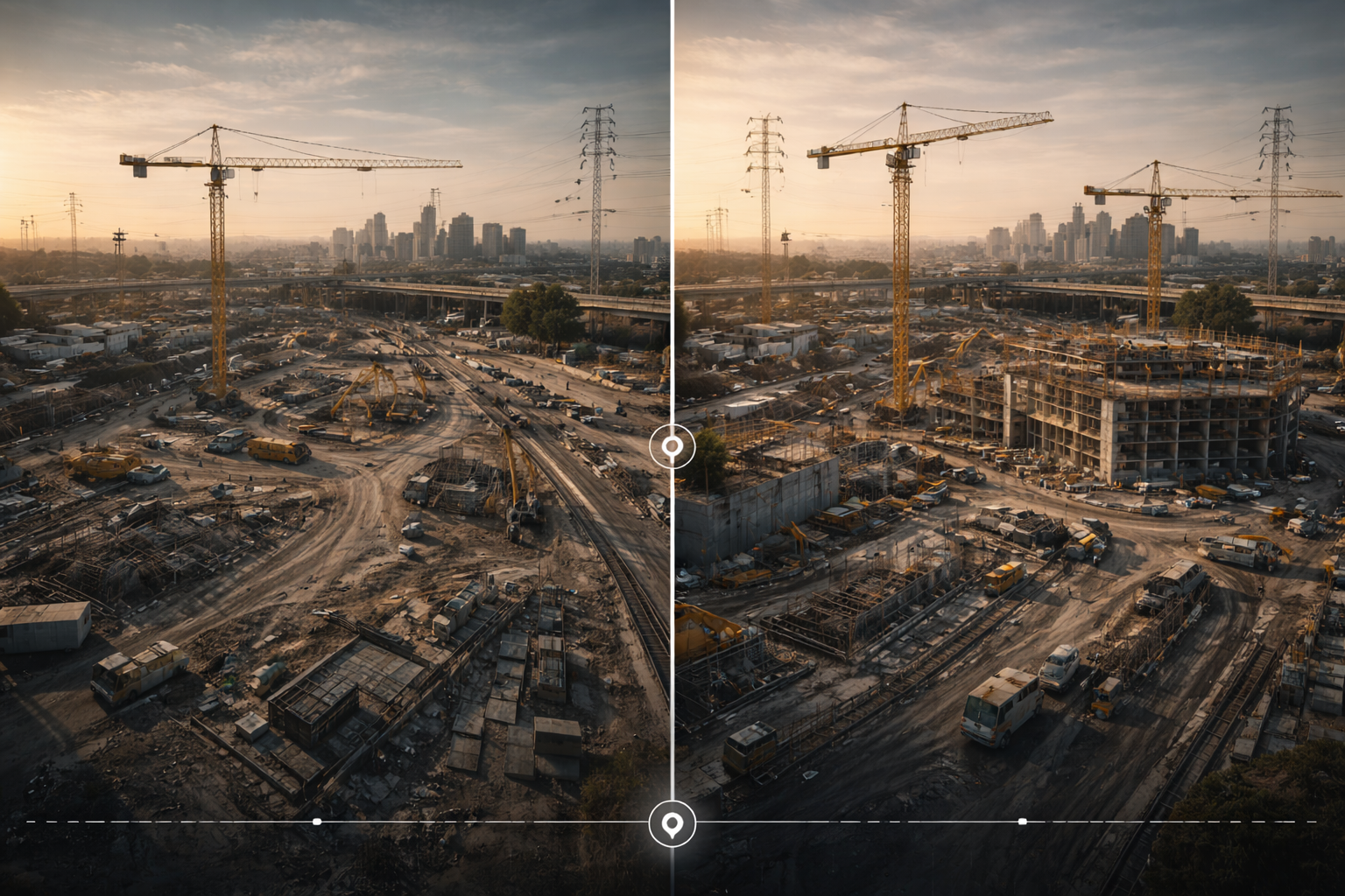
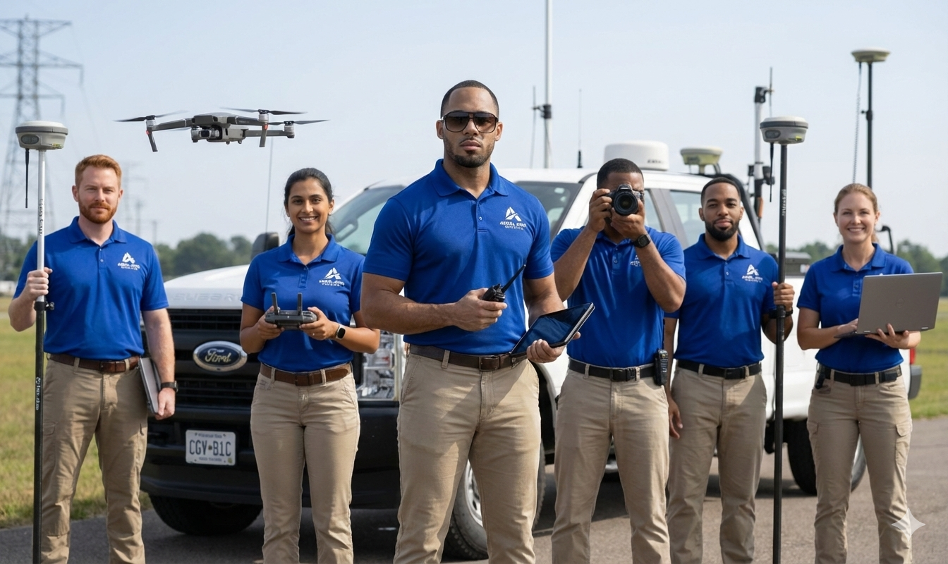
Aerial Drone Imagery

High-quality aerial documentation for sites, corridors, and properties — ideal for planning, progress reporting, and asset visibility.

Aerial drone imagery service
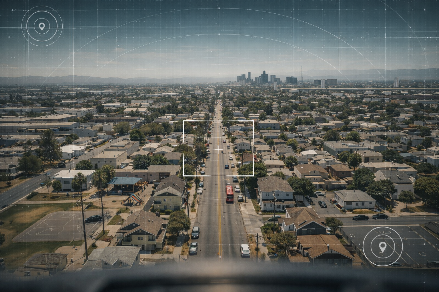
  • Site overviews & documentation
  • Construction progress visuals
  • Inspection support imagery

Street-Level Corridor Imaging

Consistent street-level documentation for infrastructure corridors, asset inventories, and right-of-way records.

Street level corridor imaging service
  • Roadway & frontage documentation
  • Asset and sign inventory support
  • Condition & change tracking

Asset Documentation

Capture and organize field imagery into structured folders and references your GIS/engineering team can use. Designed to reduce “cleanup time” and speed up decisions.

Asset documentation service
  • Poles, signs, hydrants, intersections
  • Right-of-way documentation
  • Custom checklists per client

Progress Monitoring

Repeatable capture schedules for weekly, milestone, or monthly reporting — perfect for ongoing construction and infrastructure work.

Progress monitoring service
  • Repeatable viewpoints
  • Timelines & folders by date
  • Optional summary notes

Custom Data Collection

Need something specific? We tailor routes, checklists, naming conventions, and delivery formats to match your workflow — without the overhead of a large firm.

Custom geospatial data collection
Describe Your Scope Typical turnaround: 24–72 hours depending on scope

Media

WELCOME

Fast cinematic flyover of a corridor with subtle HUD overlays.

Street-Level Capture Workflow

Vehicle-based corridor capture: smooth motion, pro data-collection vibe.

Fleet + Brand Presence

Aerial Apex Geodata fleet lineup: ready to deliver your next project.

Fleet & Branding

We operate at an agency-ready standard, with our field teams, vehicles, and a consistent, professional operational presence.

Tesla Model 3 with Aerial Apex Geodata wrap
Aerial Apex • branded capture unit

Team & Field Ops

Professional field team, standardized procedures, and consistent client-ready documentation.

Field operator wearing polo with company logo
Field Ops • branded polo uniform
Drone operator conducting aerial capture
UAS Ops • FAA Part 107 certified aerial capture
Office space for Aerial Apex Geodata
Operations • professional office environment

Deliverables

Clean, organized outputs. If you’ve ever received messy folders and random filenames — this is the opposite.

Standard Package

  • Structured folders by date / area / route
  • Consistent filenames (configurable)
  • High-quality imagery (aerial and/or ground)
  • Optional “highlights” folder for key findings
GIS-ready structure Client-friendly naming Fast turnaround

Optional Add-ons

  • Simple summary notes (PDF/Doc)
  • Repeatable progress capture schedule
  • Custom checklist capture (assets / views)
  • Basic index map / location references

We keep it practical, agency-friendly, and aligned to your workflow.

Showcase Example

A sample “deliverable look” image for the site.

Deliverable package mockup
Example Delivery Structure
AerialApexGeodata_Delivery/
  01_Project_Info/
    Scope.pdf
    Notes.txt
  02_Aerial/
    2026-01-22_SiteA/
      AER_SiteA_0001.jpg
      AER_SiteA_0002.jpg
  03_Ground/
    2026-01-22_CorridorA/
      GRD_CorrA_0001.jpg
      GRD_CorrA_0002.jpg
  04_Highlights/
    Key_Findings/
      Highlight_0001.jpg
We can match your naming conventions if you have a preferred format.

Built for teams

Your GIS/engineering team shouldn’t have to “figure it out.” We deliver data in a predictable format so you can move faster.

Ask for a sample delivery

Industries Served

We support teams that need reliable documentation — without “big firm” overhead.

Municipal & Local Government
Transportation & Public Works
Utilities & Infrastructure
Engineering & Survey Support
Construction & Development
Planning & Asset Management

Compliance & Professional Standards

Safety-first, documentation-first — built for agencies, utilities, and contractors.

FAA Part 107 Certified

Commercial UAS operations are conducted under FAA Part 107 compliance. Airspace authorizations and operational planning are handled as required by location and scope.

Top-Tier Equipment & Payload Options

Professional capture workflows support high-resolution imaging, stabilized gimbal payloads, mapping-ready collection, and multi-drone operations for larger scopes.

Data Handling & Delivery

Structured delivery packages with predictable foldering and naming conventions — aligned to GIS, engineering, and contractor workflows.

Insurance + Documentation

Scope-based documentation available for projects (COI, safety notes, and project records as required by the client).

FAQ

Quick answers. Custom scopes are normal — just ask.

Do you do both drone and vehicle-based capture?

Yes — aerial imagery and street-level corridor documentation. You can hire us for either or both.

What deliverable formats do you provide?

Organized folders with consistent filenames. Add-ons can include simple notes or a basic index map depending on scope.

How fast is turnaround?

Typical delivery is 24–72 hours depending on scope, travel, and volume. We can align to project deadlines.

Can you match our internal naming conventions?

Yes — we can match your preferred structure if you provide a template.

Request a Quote

Tell us what you need (area, timeline, deliverables). We’ll reply with a clear scope and a fast quote.

Email
Replace with your real domain email once you set it up.
Service Area
Local + Regional
Travel available by project
Deliverables
GIS-friendly packages
Clean folders, predictable naming
This generates an email request (no backend).
Prefer direct email? Send your scope to [email protected].